To More Inquiry
$39/
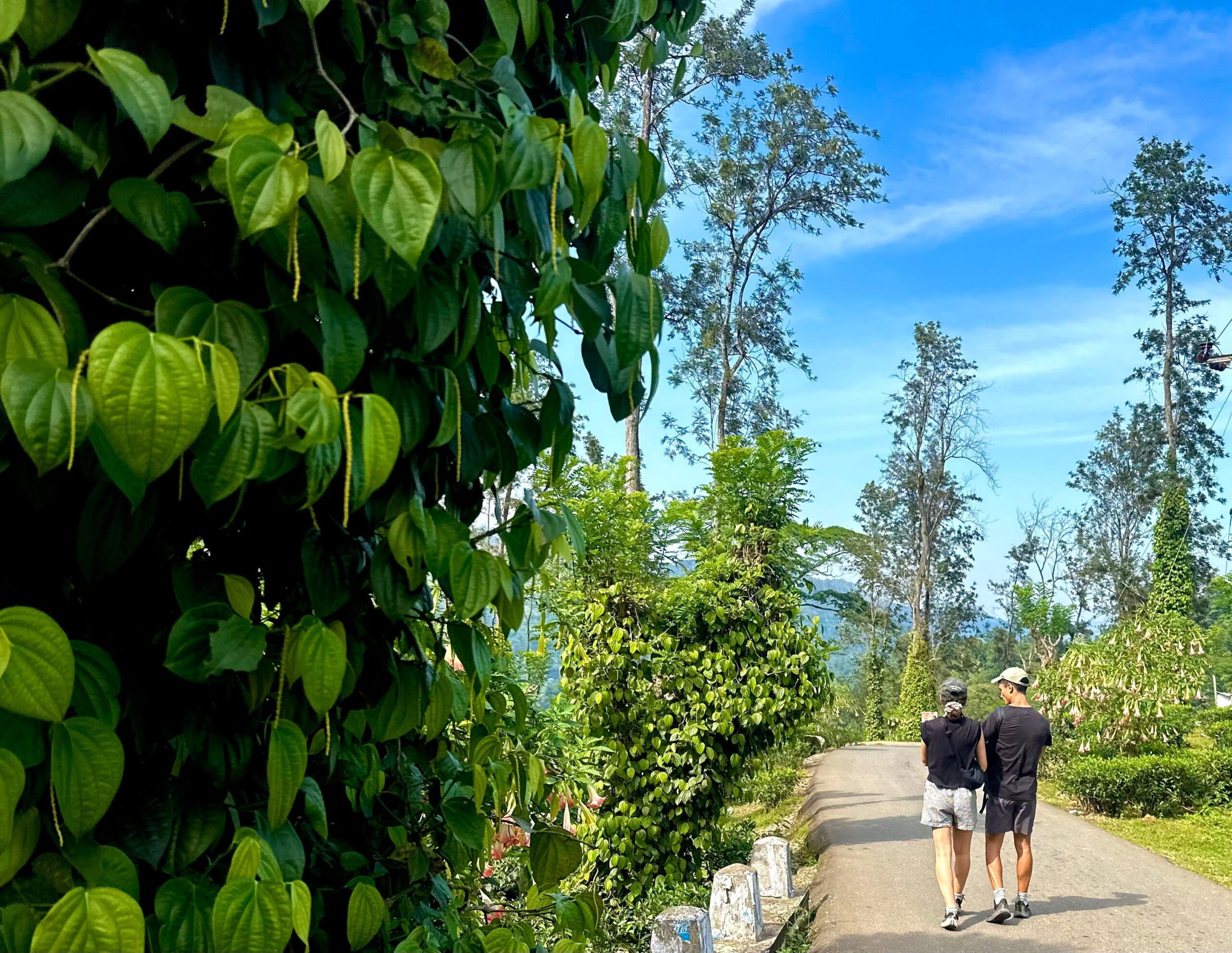
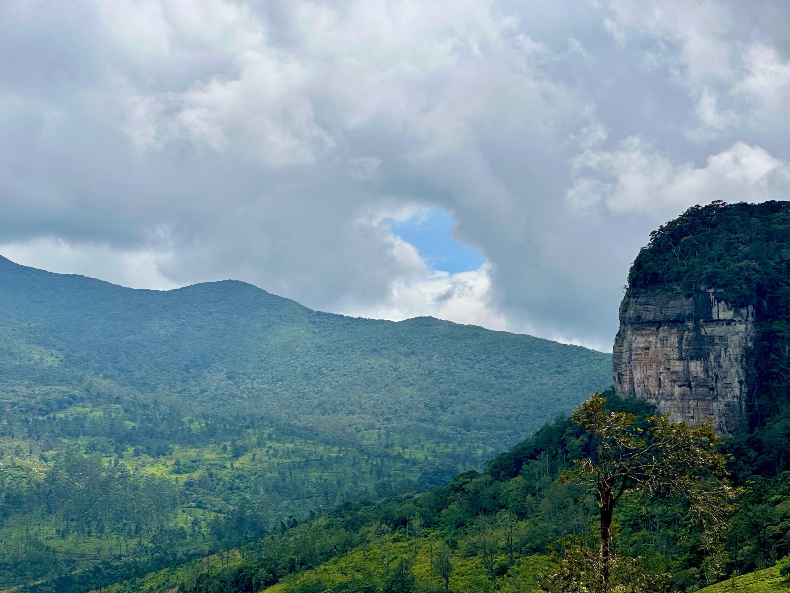
Per PersonThe Pekoe Trail is a 22-stage journey covering sim 300 km. Every stage is a unique hike, classified by difficulty, and can be booked individually or combined into multi-day itineraries. Use this guide to select your perfect segment based on Location, Distance, and Challenge Level.
How It Works:
- Select Your region : Choose the region that appeals most to you (Kandy, Hatton, Ella, etc.).
- Review the Stages: Check the Difficulty and Duration to match your fitness and schedule.
- Book Your Experience: Pick one or more stages, and we will arrange the guide, transfers, and accommodation for a seamless adventure.
MODULE 1: THE KANDY GATEWAY (Stages 1-5)
The historic start of the tea journey, blending cultural sites with challenging ascents near the island’s cultural capital.
Stage 1: Hanthana to Galaha
A scenic and gentle introduction to the tea-covered highlands.
- Distance/Time: 12.84 km / sim 4 hours
- Difficulty: Easy
- Highlights: Starts with a gentle ascent through Hanthana Tea Estate. Offers sweeping views of Kandy, the Knuckles range, and passes film-set locations (Indiana Jones).
Stage 2: Galaha to Loolkandura
A climb into deep plantation country, leading to Sri Lanka’s tea origin.
- Distance/Time: sim 14.7 km /sim 4-5 hours
- Difficulty: Challenging (Steep Sections)
- Highlights: Climbs through narrow, forested tracks and plantation paths. Features the historic Deltota stretch and the location of the island’s first cultivated tea.
Stage 3: Loolkandura to Tawalantenna
A long and undulating trek through the heart of the estates.
- Distance/Time: sim 18.11 km / sim 5-6 hours
- Difficulty: Difficult
- Highlights: This long stretch navigates between estate ridges, small forest patches, and undulating terrain, requiring good stamina.
Stage 4: Tawalantenna to Pundaluoya
Weaving through estates and quiet rural forest edges.
- Distance/Time: sim 15.53 km / sim 4-5 hours
- Difficulty: Difficult
- Highlights: Trails weave through tea estates, forest edges, and remote rural sections. Expect some narrow or overgrown portions.
Stage 5: Pundaluoya to Watagoda
A balanced stage blending plantation life and natural paths.
- Distance/Time: sim 14.31 km / sim 4 hours
- Difficulty: Moderate
- Highlights: Follows plantation and estate tracks with rural paths. Features moderate climbs and descents, making it a good transition stage.
MODULE 2: THE HATTON VALLEYS (Stages 6-10)
Deep tea country trekking, connecting the iconic Maskeliya and Bogawantalawa valleys to the high plateau.
Stage 6: Watagoda to Kotagala
A scenic trek through tea fields and forest boundaries.
- Distance/Time: sim 15.53 km / sim 4-5 hours
- Difficulty: Moderate
- Highlights: Traverses classic tea fields and forest edges, primarily utilizing plantation roads with gentle gradients.
Stage 7: Kotagala to Norwood
Following historic colonial routes with panoramic valley views.
- Distance/Time: sim 16.48 km / sim 5 hours
- Difficulty: Moderate
- Highlights: Passes through well-maintained colonial estate roads and includes views across expansive valleys, passing old factory ruins.
Stage 8: Norwood to Bogawantalawa
Climbing high for spectacular views of the Maskeliya region.
- Distance/Time: sim 15.85 km / sim 4 hours
- Difficulty: Moderate
- Highlights: Rewarding ridge climbs provide exceptional views into the Maskeliya Valley, followed by a descent through lush estates.
Stage 9: Bogawantalawa to Dayagama
The transition stage toward the highest elevations.
- Distance/Time: sim 16.52 km / sim 4-5 hours
- Difficulty: Moderate
- Highlights: Crosses between wide highland plantations and forest patches, marking the visible transition into the higher, rugged Horton Plains region.
Stage 10: Dayagama to Horton Plains (Farr Inn)
The final, scenic approach to the high-altitude wilderness.
- Distance/Time: sim 14.88 km / sim 4-5 hours
- Difficulty: Difficult
- Highlights: The challenging final approach into high-elevation country, entering the protected, visually stunning Horton Plains area.
MODULE 3: HAPUTALE & ELLA ICONS (Stages 11-16)
From high plateau descents and remote valleys to the famous Ella viewpoints, including the iconic railway tracks.
Stage 11: Horton Plains to Udaweriya
A rugged descent through remote factory country.
- Distance/Time: 13.0 km / sim 3 hours
- Difficulty: Moderate
- Highlights: Starts at Farr Inn and features the dramatic descent via “Devil’s Staircase,” passing remote valleys and old tea-factory ruins.
Stage 12: Udaweriya to Haputale
A long and demanding stage with significant altitude change.
- Distance/Time: sim 17.32 km / sim 6 hours
- Difficulty: Difficult
- Highlights: The longest stage in this module, it involves steep segments through forest and estates to reach the famous misty ridge town of Haputale.
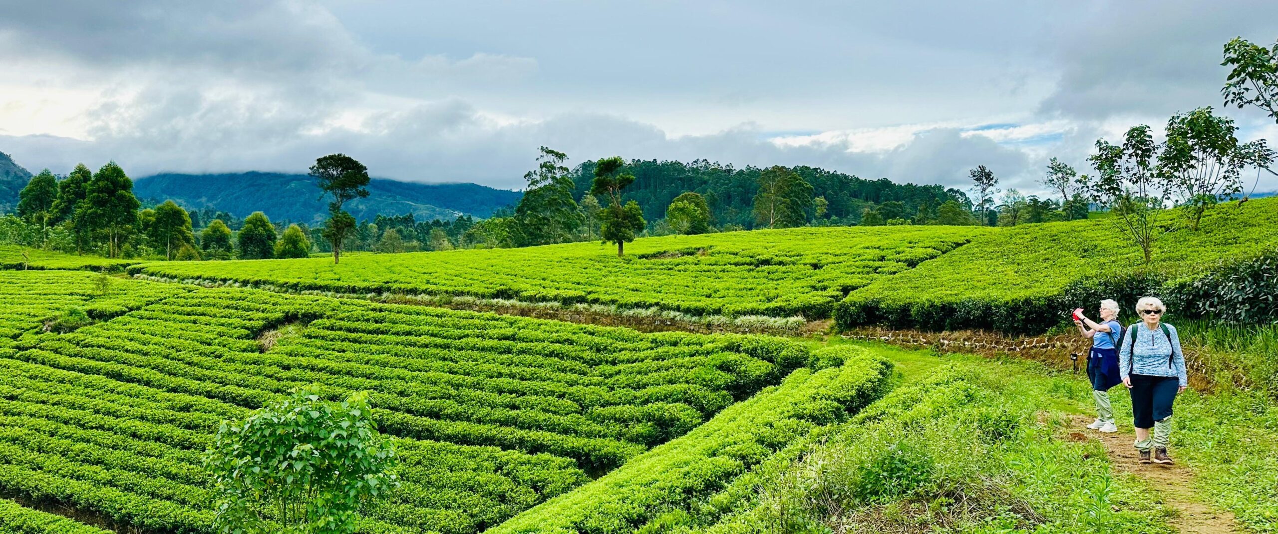
Stage 13: Haputale to St. Catherine
Views open up across the tea country towards the southern plains.
- Distance/Time: sim 13.48 km / sim 5 hours
- Difficulty: Moderate
- Highlights: Opens up panoramic vistas, leading you into the area of the legendary Lipton’s Seat viewpoint.
Stage 14: St. Catherine to Makulella
A scenic downhill trek with views of Namunukula.
- Distance/Time: sim 9.36 km / sim 3 hours
- Difficulty: Moderate
- Highlights: Mostly downhill, traversing eucalyptus forests and tea fields. Offers clear views of the “Nine Peaks” (Namunukula) mountain range.
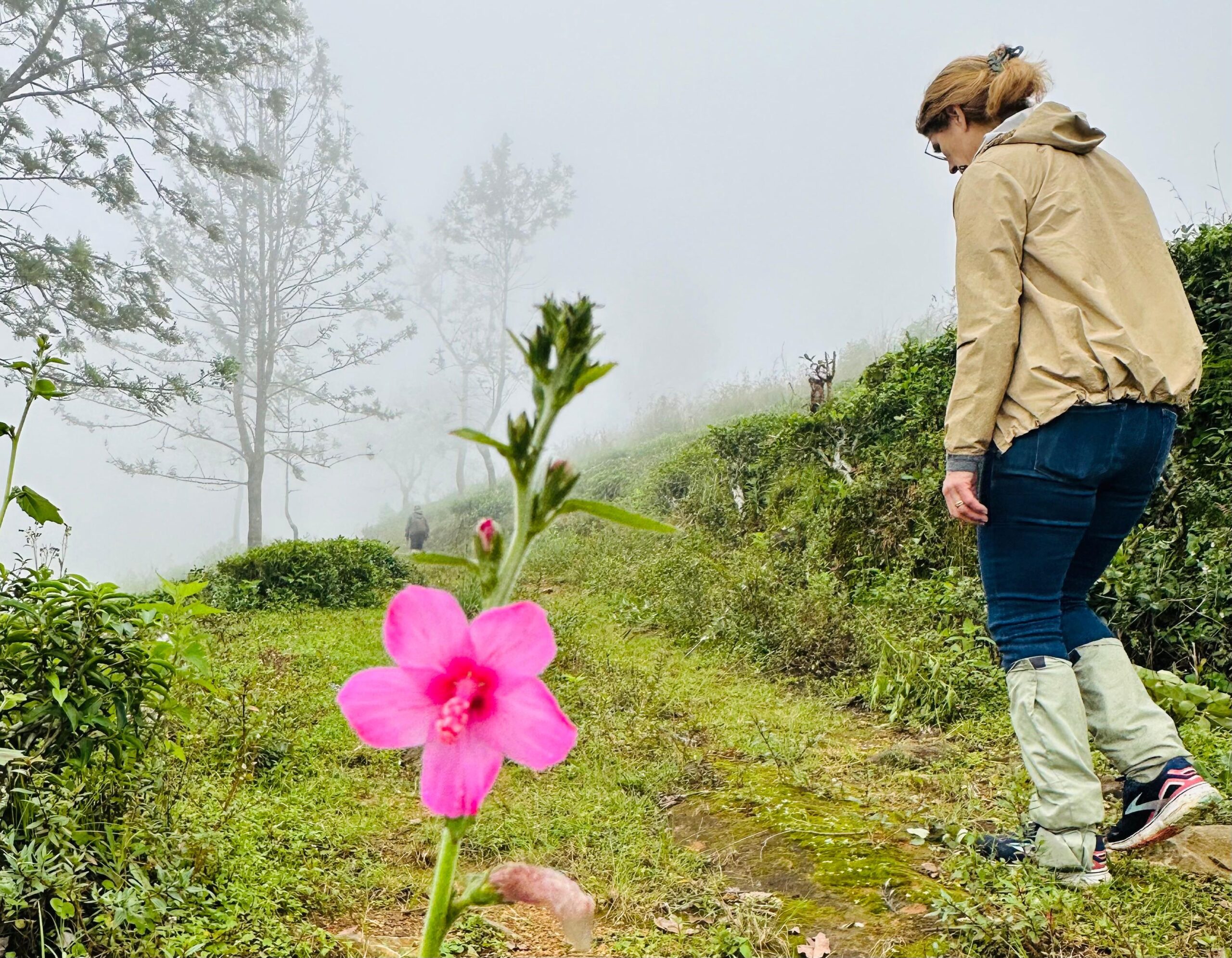
Stage 15: Makulella to Ella
Entering the scenic hill country around the famous town of Ella.
- Distance/Time: sim 9.61 km / sim 3 hours
- Difficulty: Moderate
- Highlights: Passes through plantations and forest patches around Ella Rock, with scenic climbs and descents into the town.
Stage 16: Ella to Demodara
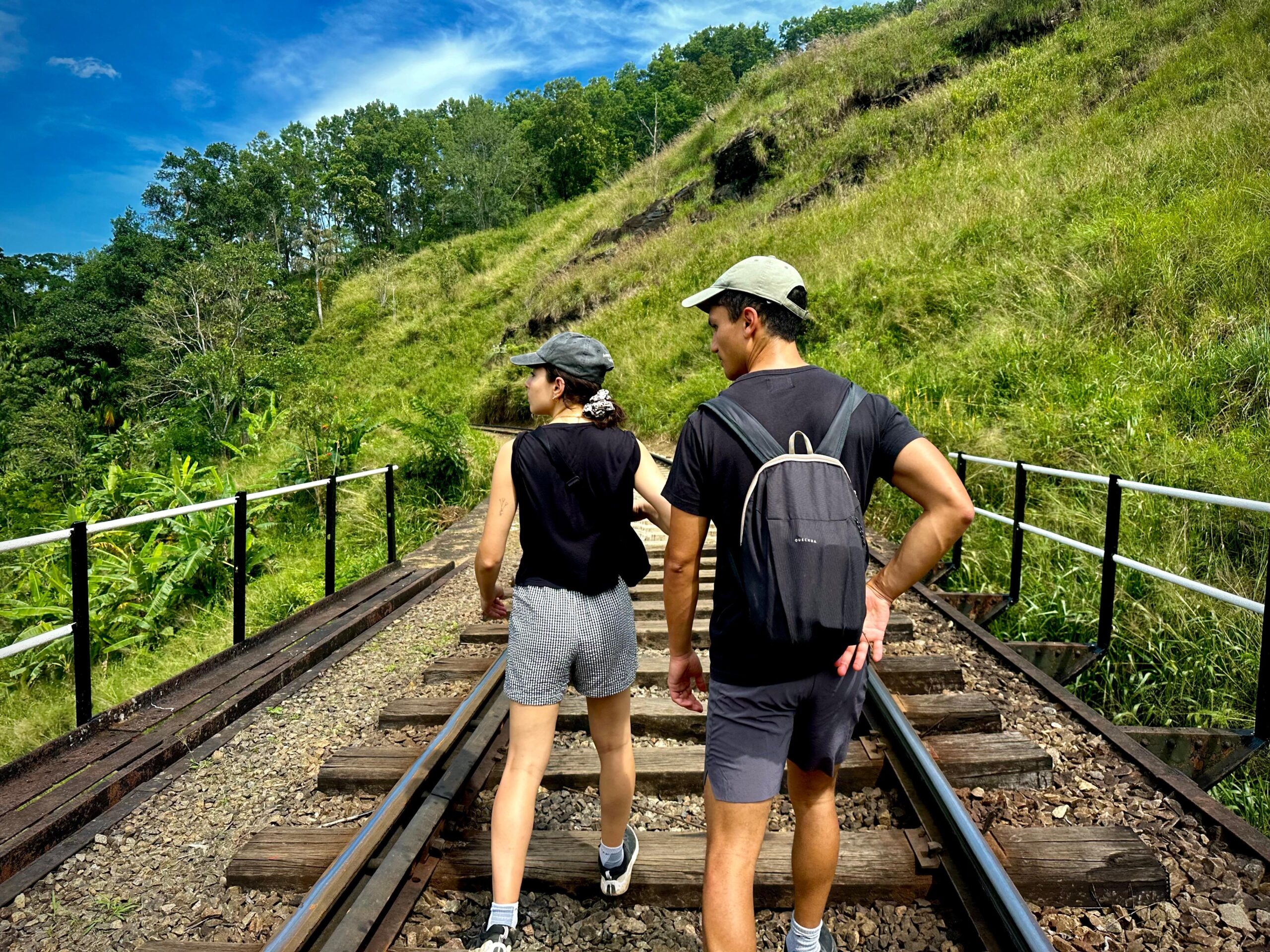
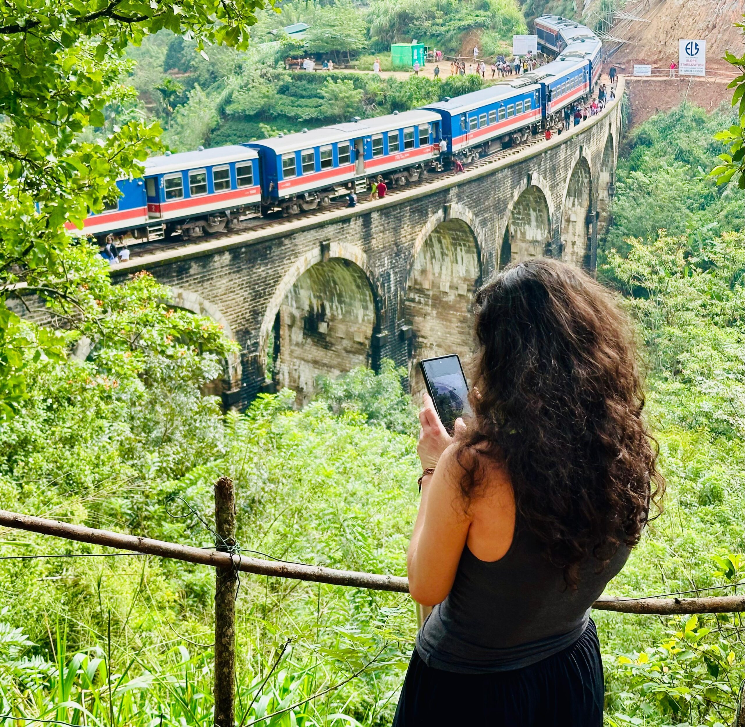
The most popular stage, featuring the iconic railway landmark.
- Distance/Time: sim 8.7 km / sim 2.5 hours
- Difficulty: Easy
- Highlights: Includes the stunning walk over the Nine Arches Bridge, with easy-going forest tracks and plantation routes.
MODULE 4: EASTERN TRAILS & FINALE (Stages 17-22)
Quieter segments, high-altitude climbs, and the colonial charm of the trail’s terminus, Nuwara Eliya.
Stage 17: Demodara to Hali-Ela
A pleasant trail with rewarding views through remote plantations.
- Distance/Time: sim 13.15 km / sim 3-4 hours
- Difficulty: Moderate
- Highlights: A mix of climbing and descending through quiet, expansive plantations, offering a tranquil trekking experience.
Stage 18: Hali-Ela to Ettampitiya
Ascending from lower villages back into the tea estates.
- Distance/Time: sim 13.67 km / sim 3-4 hours
- Difficulty: Moderate
- Highlights: Climbs from lower elevations into the core tea estates, ending with a steep final segment to reach a hilltop factory.
Stage 19: Ettampitiya to Lunuwatte
A lengthy and remote section through diverse countryside.
- Distance/Time: sim 18.87 km / sim 5 hours
- Difficulty: Difficult
- Highlights: One of the longest stages; gently descends to the Uma Oya river, then crosses quiet rural paths and mixed estates.
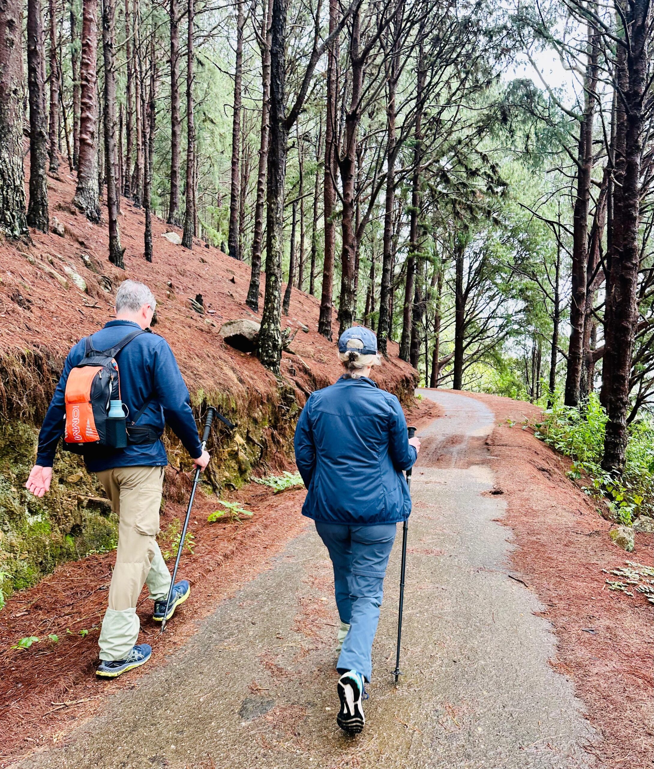
Stage 20: Lunuwatte to Uda Pussellawa
Ascending through the eucalyptus and pine forests.
- Distance/Time: sim 12.58 km / sim 3 hours
- Difficulty: Moderate
- Highlights: Begins on a village road and ascends via zig-zag paths into striking eucalyptus and pine forest, with a balanced uphill/downhill gradient.
Stage 21: Uda Pussellawa to Kandapola
A long, high-altitude stage and one of the toughest connectors.
- Distance/Time: sim 16.70 km / sim 5 hours
- Difficulty: Difficult
- Highlights: A longer, challenging stage through high-altitude tea country, remote forest, and rugged rural tracks, requiring high endurance.
Stage 22: Kandapola to Pedro (Nuwara Eliya)
The beautiful final stage into “Little England.”
- Distance/Time: 10.80 km / sim 3 hours
- Difficulty: Moderate
- Highlights: The final push through immaculate estate tracks and high-country scenery, ending your epic journey near the charming town of Nuwara Eliya.
Included and Excluded
- Expert Adventure Guide (Certified Pekoe Trail Specialist).
- All Internal Transfers (Including Scenic Train Ride Segments).
- First Aid Support & Trail Safety Gear.
- Lunch (We recommend packed lunches for trail flexibility).
- Tips for Guides and Drivers.
- Entrance to the Ceylon Tea Museum.
Highlights of the Tour
- Complete 22 Stages of the world-renowned Pekoe Trail.
- Trek through the UNESCO World Heritage site of Horton Plains (World's End).
- Witness the sunrise from Lipton's Seat.
- Walk the railway tracks over the Nine Arches Bridge.
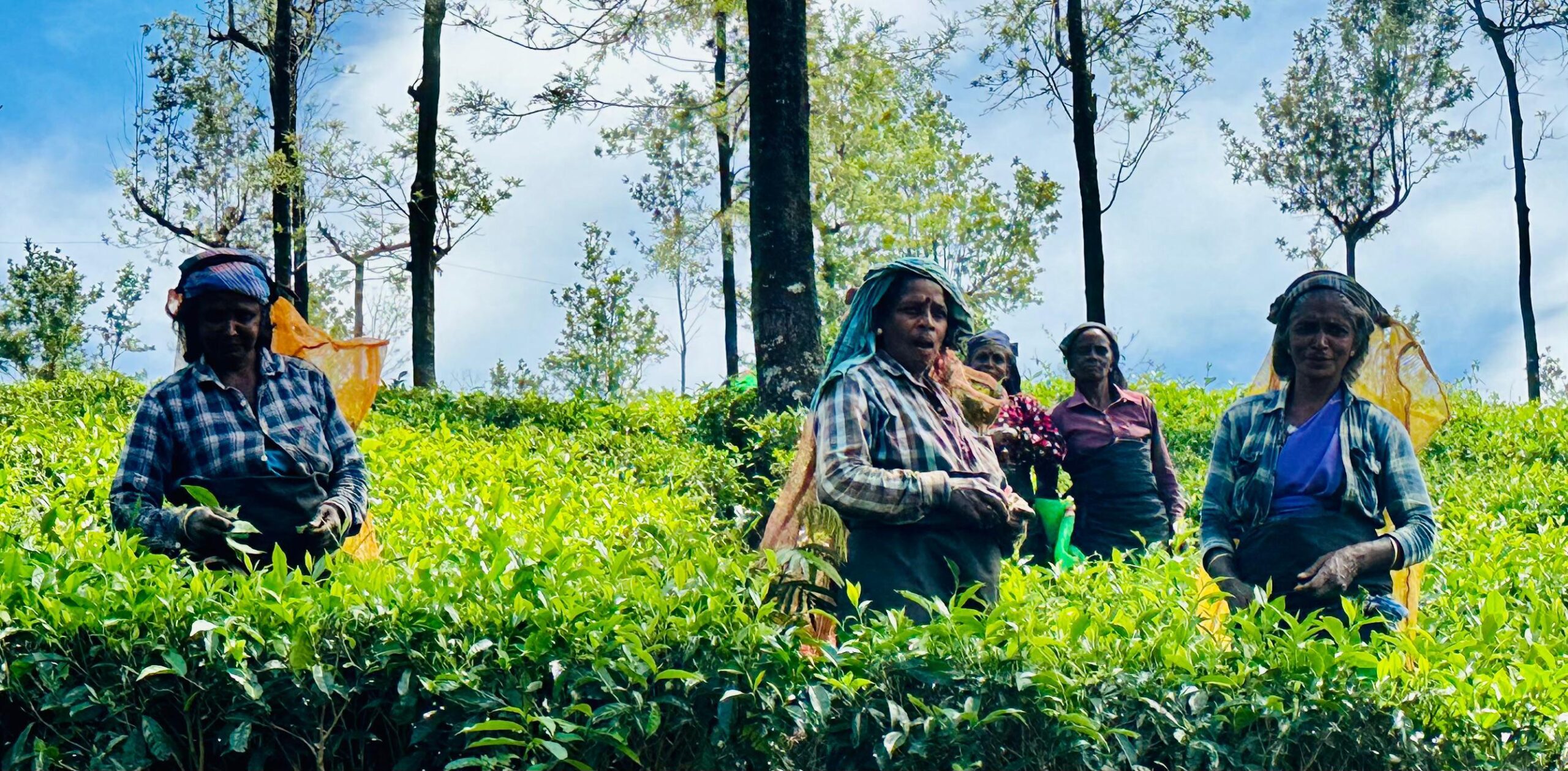
- Experience the authentic life of tea estate communities.
- Summit near Kirigalpotta Peak (Optional Technical Extension).
Location Map
Book Your Tour
Reserve your ideal trip early for a hassle-free trip; secure comfort and convenience!


Join The Newsletter
To receive our best monthly deals